DySENSE: Generating Urban Dynamic Energy Consumption Maps from Satellite Imagery
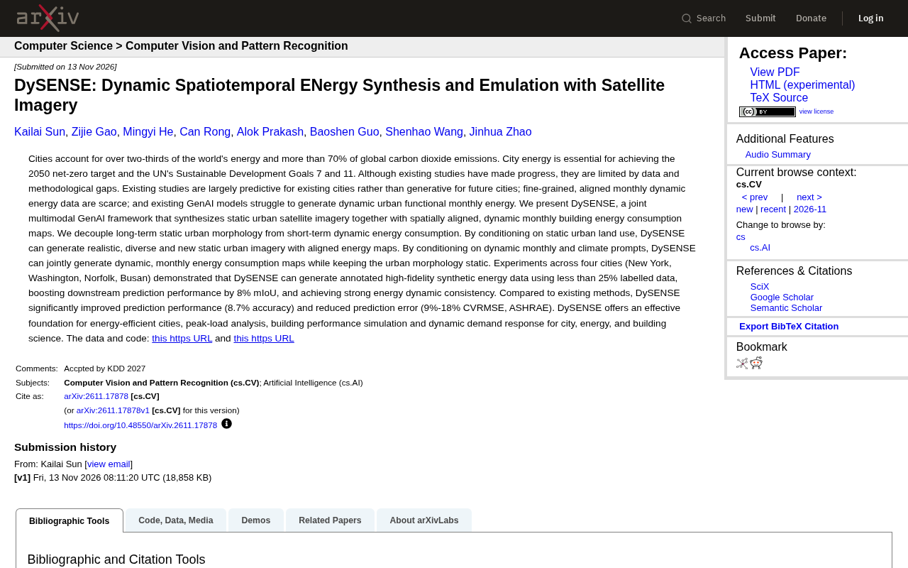
DySENSE uses multimodal generative AI to decouple urban form from monthly energy consumption and synthesize high-fidelity training data.
The article introduces a study called DySENSE: cities contribute over 70% of CO2 emissions, but spatially aligned, fine-grained monthly energy data is scarce, and existing work emphasizes prediction over generation. DySENSE decouples the urban problem into a static form layer and a dynamic energy layer, enabling two controllable generation modes—generating new urban satellite imagery with aligned energy maps conditioned on land use, or generating dynamic energy maps while keeping form unchanged conditioned on monthly and climate prompts. Validated on New York, Washington, Norfolk, and Busan, it generates high-fidelity synthetic data with less than 25% annotated data, improving downstream prediction by 8% mIoU, accuracy by 8.7%, and reducing CVRMSE by 9%–18%. The authors note that cross-city generalization and extreme-climate performance still need independent validation, and the boundaries of synthetic data use in high-risk decisions must be defined.
Cities consume more than two-thirds of the world's energy and contribute over 70% of carbon dioxide emissions. For cities to move toward net-zero goals, accurate, fine-grained energy consumption data is essential—but such data has long been scarce. A study called DySENSE proposes a new path: using multimodal generative AI to jointly synthesize static satellite imagery and dynamic monthly building energy consumption maps.
Why Is Urban Energy Data So Hard to Obtain?
According to the original analysis, existing research faces three bottlenecks. The first is that there is more "prediction" than "generation": much work focuses on energy forecasting for existing cities rather than generating usable data for future urban forms. The second is the data gap: spatially aligned, fine-grained monthly dynamic energy data is extremely scarce, and the cost of high-quality annotation across cities and months is high. The third is insufficient model capability: existing generative AI models struggle to simultaneously generate dynamic urban functions and monthly energy consumption.
These three bottlenecks compound, leaving downstream tasks such as urban planning, grid peak shaving, and building performance simulation often short of the data they need.
DySENSE's Core Idea: Decoupling Static Form from Dynamic Energy Consumption
The key design of DySENSE lies in "decoupling." The research team splits the urban problem into two layers: long-term stable urban form (buildings, roads, land use) belongs to the static layer; monthly energy consumption that fluctuates with seasons and climate belongs to the dynamic layer.
Based on this split, the framework can generate under two conditions: when conditioned on static land use, the model generates realistic, diverse, and entirely new urban satellite imagery along with spatially aligned energy consumption maps; when conditioned on monthly and climate prompts, the model keeps urban form unchanged and only jointly generates dynamic monthly energy consumption maps. This capability for "controllable generation" distinguishes it from mere image synthesis tools.
Joint generation and multimodal conditional generation are the technical prerequisites for understanding this framework. Multimodal means the model simultaneously processes heterogeneous inputs such as satellite imagery (visual modality) and energy consumption maps, climate prompts (numerical or textual modality); joint generation requires the model to output multiple spatially aligned results in a single forward pass rather than generating them serially in stages. The main difficulty this brings is the alignment constraint between modalities: building outlines in satellite imagery must match high-value regions in energy consumption maps at the pixel level; otherwise, the synthetic data cannot be used for downstream spatial analysis. DySENSE explicitly divides conditions into two types—long-term form and short-term dynamics—allowing the model to keep spatial structure stable while only changing energy distribution, thereby separating the two conflicting requirements of "alignment" and "change" into different conditional branches.
Experimental Performance: Less Annotation, High Fidelity
The study validated on four cities: New York, Washington, Norfolk, and Busan. The original results include: using less than 25% of annotated data, DySENSE can generate high-fidelity synthetic energy data with annotations and improve downstream prediction performance by 8% mIoU; it also performs robustly on energy dynamics consistency. Compared with existing methods, prediction performance improves by 8.7% (accuracy), and prediction error decreases by 9%–18% (CVRMSE, ASHRAE standard).
The significance of these numbers is that synthetic data does not merely "supplement quantity" but can actually improve the prediction quality of downstream models while greatly reducing reliance on manual annotation.
mIoU (mean Intersection over Union) is the most commonly used accuracy metric in semantic segmentation tasks: for each land-cover class, it computes the overlap area between the predicted region and the ground-truth region divided by the union area, then averages over all classes. mIoU ranges from 0 to 1, with higher values indicating that predicted spatial boundaries align more closely with the truth. The statement "downstream prediction performance improves by 8% mIoU" means that after training with synthetic data augmentation, the downstream segmentation model's mIoU on real data improves by about 8 percentage points relatively.
CVRMSE (Coefficient of Variation of the Root Mean Square Error) is the error metric recommended by ASHRAE (American Society of Heating, Refrigerating and Air-Conditioning Engineers) for validating building energy prediction. It is calculated as RMSE divided by the mean of observed values, making it a dimensionless relative error convenient for cross-comparison across different buildings and energy magnitudes. ASHRAE Guideline 14 gives calibration thresholds of about 15% for monthly energy models and about 30% for hourly models, so the "9%–18%" error reduction range in the text is meaningful under this standard.
What Can It Be Used For?
The original text lists several clear application directions: energy-efficient urban planning, peak load analysis, building performance simulation, and city-scale dynamic demand response. For the energy and building science fields, such tools fill the gap in "data generation" rather than "data prediction"—when real data is unavailable, they first synthesize physically plausible, spatiotemporally aligned substitute data.
The research team has released data and code (Hugging Face dataset MUSE2 and GitHub repository DySENSE), providing a foundation for subsequent reproduction and extension.
A Sober Observation
A note: the value of synthetic data ultimately depends on whether its deviation from the real world is controllable. The original text emphasizes "high fidelity" and "dynamic consistency," but cross-city generalization and performance under extreme climate scenarios still require more independent validation. In addition, when generative methods are deployed in high-risk decision-making scenarios such as energy planning, how to define the boundaries of synthetic data use is a question more worth discussing than model metrics.
DySENSE offers an inspiring framework: explicitly separating urban form from energy dynamics, then using generative models to control each. This idea itself may have more long-term value than improvements on a single benchmark.
One-line Summary
DySENSE uses multimodal generative AI to decouple urban form from monthly energy consumption and synthesize high-fidelity training data.
Paragraph Summary
The article introduces a study called DySENSE: cities contribute over 70% of carbon dioxide emissions, but spatially aligned, fine-grained monthly energy data has long been scarce, and existing work emphasizes prediction over generation. DySENSE's core is to decouple the urban problem into a static form layer and a dynamic energy layer, enabling two types of controllable generation—conditioned on land use to generate entirely new urban satellite imagery with aligned energy maps, or conditioned on monthly and climate prompts to generate dynamic energy maps while keeping form unchanged. In validation on four cities—New York, Washington, Norfolk, and Busan—using less than 25% of annotated data, it generated high-fidelity synthetic data, improving downstream prediction by 8% mIoU, accuracy by 8.7%, and reducing CVRMSE error by 9%–18%. The authors also caution that cross-city generalization and performance under extreme climates still await independent validation, and the boundaries of synthetic data use in high-risk decisions need to be defined.
Related articles

GLM 5.5 Arrives: Has Claude Cracked the 167-Year-Old Riemann Hypothesis?
Claude and a mathematician claim to have proved the 167-year-old Riemann Hypothesis, Zhipu's GLM 5.5 is imminent, Google's Loop agent surfaces, and Thinking Machines open-sources Inkling 2 Mini.

AI Coding Made Building Cheap, but Not Maintenance
AI coding agents make internal tools cheap to build but not to maintain. This article examines the hidden liabilities of tool sprawl and proposes three governance principles: inventory, ownership, and reuse first.

Microsoft SideWinder Strategic Commander: A Failed Innovation Attempt
A review of Microsoft's SideWinder Strategic Commander gaming peripheral: its design intent, usability flaws, and market positioning, and why peripheral innovation must respect user habits.