Hands-On Tutorial: Integrating Google Maps Grounding with Firebase AI Logic

Integrate Firebase AI Logic with Google Maps Grounding to build location-aware AI apps in three steps.
This tutorial walks through integrating Google Maps Grounding with Firebase AI Logic, enabling Gemini to leverage real Google Maps data for accurate, grounded responses. Covering the three-step process — setting up Firebase AI Logic, enabling Maps Grounding via the tools array, and meeting attribution requirements — it demonstrates how to build intelligent location-aware apps like an AI-powered restaurant finder without a custom backend.
When Gemini Meets Google Maps: New Possibilities for Intelligent Search
Imagine this scenario: you and your friends want to grab dinner, but everyone has different tastes — one person wants noodles, another wants fried chicken, and someone insists on pineapple pizza. How do you quickly find a restaurant that satisfies everyone?
Google has added Google Maps Grounding to Firebase AI Logic, enabling developers to combine Gemini's AI capabilities with Google Maps' massive geographic dataset to easily build intelligent search applications.
Firebase AI Logic is Google's AI integration layer built on the Firebase platform. It allows developers to call Google's Gemini series of large language models directly through client-side SDKs (supporting iOS, Android, Web, and other platforms) without needing to build their own backend proxy services. Traditionally, calling LLM APIs required server-side implementation to protect API key security and manage request controls. Firebase AI Logic solves this through Firebase Security Rules and App Check mechanisms, making direct frontend connections possible. It is essentially the consolidated and upgraded successor to the former Firebase ML Kit and Vertex AI in Firebase, officially rebranded and expanded in 2025.
This article provides a detailed walkthrough of how to integrate this feature into your app, based on a hands-on demo by Google developer Noe.
App Demo: An AI-Powered Restaurant Decision Tool
In this demo app, users can enter specific dining requests, such as "three restaurants that serve pineapple pizza." With Google Maps Grounding, Gemini not only understands the user's natural language query but also leverages real Google Maps data to filter and screen results, returning restaurants that genuinely match the criteria.

The entire workflow is highly intuitive:
- Search phase: Search separately for each friend's taste preference (pineapple pizza, fried chicken, noodles, etc.)
- Shortlisting phase: Add search results to a candidate list
- Voting phase: Send the candidate list to your friends and let everyone vote on the final choice

The core value of this app lies in Gemini's ability to understand fine-grained requests like "pineapple pizza" and verify through Google Maps data whether a restaurant actually serves that dish, rather than simply returning all pizza places. This Grounding mechanism significantly improves the accuracy and reliability of search results.
Grounding is a key concept in the large language model space. It refers to associating and validating model-generated content against external, verifiable real-world data sources. Google implements Grounding in Gemini through a Tool Use mechanism — when the model identifies during inference that it needs external data support, it automatically calls preconfigured tools (such as Google Search or Google Maps) to retrieve real-time information, then generates responses based on that real data. This is similar in concept to RAG (Retrieval-Augmented Generation), but RAG typically requires developers to build their own retrieval pipelines and vector databases, whereas Grounding handles data retrieval and injection on the Google platform side — developers only need to declare which tools to use.
Three Steps to Integrate Google Maps Grounding
Step 1: Set Up the Firebase AI Logic Foundation
The tech stack for this solution is remarkably lean. Since this type of application doesn't require complex server-side processing (such as RAG or loading large volumes of background documents), developers can connect to Gemini directly from the frontend using Firebase AI Logic, with no additional backend service needed.
RAG (Retrieval-Augmented Generation), mentioned here, has been the most mainstream architecture pattern for enterprise AI applications since 2023. Its core workflow is: user asks a question → relevant document fragments are retrieved from an external knowledge base → retrieved results are injected as context into the LLM's prompt → the model generates an answer based on real documents. RAG's advantage is its ability to incorporate private enterprise data, but the trade-off is the need to set up vector databases (such as Pinecone or Weaviate), build document processing pipelines, and maintain index update mechanisms — resulting in relatively high overall architectural complexity. Firebase AI Logic's frontend direct-connection model is suited for scenarios that don't require private data and primarily rely on Google's public data sources (such as Maps and Search). The two approaches are not replacements for each other but complementary architectural choices.
This is an important architectural decision — Firebase AI Logic, as a frontend SDK, lowers the development barrier and enables developers to quickly build prototypes and iterate on features.
Step 2: Enable Google Maps Grounding
The core code change is remarkably concise. When obtaining the generative model, simply add Google Maps to the tools array to enable the Grounding feature:

Once enabled, developers call the model's generate method as usual. The key difference lies in processing the response data — you need to iterate through the response content, parse the grounding metadata, and extract Google Maps-related information.
Here's the specific workflow:
- Declare Google Maps in the
toolsarray when configuring the model - Make a normal generate call
- Parse the
grounding metadatain the response - Extract Google Maps data (such as restaurant names, addresses, ratings, etc.)
Step 3: Meet Attribution Requirements
This step is easy to overlook but critically important. When your app displays data from Google Maps, you must provide proper attribution for the results.

Attribution is one of the core compliance requirements in the Google Maps Platform Terms of Service. According to Section 3.2.3 of the Google Maps Platform Terms of Service, any application displaying data from Google Maps must clearly attribute the data source. This requirement applies not only to Grounding scenarios but to all applications using Google Maps APIs. Violating attribution requirements may result in API access suspension, and in severe cases, legal risks. Google has strict specifications for the exact form of attribution, including font size, color contrast, display position, and more — all designed to ensure end users clearly know the data comes from Google Maps, thereby building trust in the information source.
Specific requirements include:
- Text attribution: Display the words "Google Maps" — this must not be translated and must remain in English
- CSS styling: Use Google's specified CSS style classes, which can be found in the official documentation
- Enhanced display (optional): Add the Google Maps favicon icon next to the "Google Maps" text to give users a more intuitive understanding of the data source
This is not just a technical requirement — it's a compliance requirement. Ignoring attribution may cause your app to fail review or violate terms of service.
Technical Highlights and Future Prospects
Why the Grounding Mechanism Matters
One of the core challenges with large language models is the "hallucination" problem — models may generate information that seems plausible but doesn't actually exist. Google Maps Grounding effectively mitigates this issue by anchoring AI-generated content to real geographic data.
LLM "hallucination" is one of the most closely watched challenges in the AI field today. Hallucination refers to model-generated content that appears grammatically and logically correct but actually contains false or nonexistent information. In geographic information scenarios, hallucinations are particularly dangerous — the model might fabricate nonexistent restaurant names, generate incorrect addresses, or claim a restaurant serves dishes it doesn't actually offer. Multiple studies in 2023 showed that even the most advanced LLMs still exhibit significant hallucination rates when dealing with specific facts, especially real-time, locally changing business information. The Grounding mechanism addresses this problem at the architectural level rather than the model training level by introducing authoritative external data sources as "factual anchors" — it is currently one of the most practical and widely recognized hallucination mitigation strategies in the industry.
In the restaurant search scenario, this means:
- Returned restaurants actually exist
- Address information is accurate
- Business status is real-time
- Menu information is verifiable
Use Cases Go Far Beyond Restaurant Search
The potential of Google Maps Grounding extends well beyond restaurant decisions. Here are some directions worth exploring:
- Travel planning assistant: Recommend attractions and plan routes based on user preferences
- Local service search: Find the highest-rated businesses of a specific type nearby
- Real estate analysis tool: Analyze surrounding amenities using geographic location data
- Logistics optimization: Plan delivery routes based on map data
Advantages of the Frontend Direct-Connection Architecture
Firebase AI Logic allows the frontend to communicate directly with Gemini. This architecture offers clear advantages in certain scenarios:
- High development efficiency: No need to build and maintain backend services
- Low response latency: Eliminates an extra network hop
- Low operational costs: No additional server resources required
Of course, if your application requires RAG, complex data preprocessing, or sensitive API key management, a server-side architecture is still recommended. In practice, many teams adopt a hybrid architecture: using frontend direct connections for simple geographic queries and real-time searches to achieve optimal response speed, while routing queries involving user privacy data or internal enterprise knowledge bases through server-side RAG pipelines. This layered strategy ensures both good user experience and compliance with security requirements.
Summary
Firebase AI Logic's Google Maps Grounding feature provides developers with a clean yet powerful way to combine AI's natural language understanding capabilities with Google Maps' massive geographic dataset. From a technical implementation perspective, the entire integration process is extremely lightweight — just add one line of configuration to the tools array, then handle the grounding metadata and attribution in the response.
For developers looking to build location-aware AI applications, this is a tool worth exploring in depth. Before getting started, be sure to carefully read Google's official documentation on attribution requirements and CSS styling specifications to ensure your app launches in full compliance.
Related articles
DeepSeek + Codex Tutorial: Achieve Low-Cost AI Coding with Codex++
Learn how to connect DeepSeek to Codex using the open-source tool Codex++. Covers provider setup, connection testing, and launch verification for low-cost AI coding.
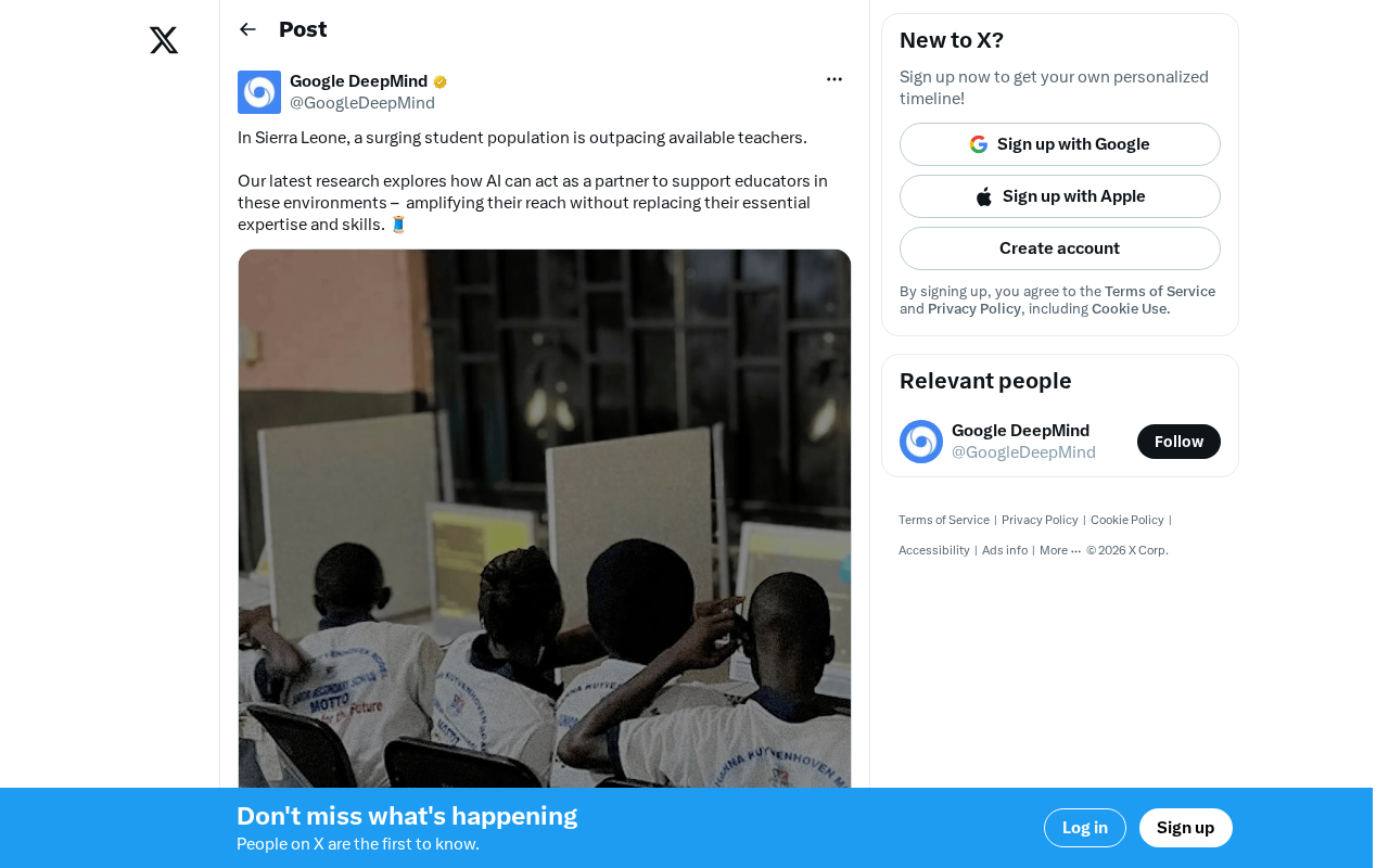
AI Alleviating Sierra Leone's Teacher Shortage: Technology Empowering Rather Than Replacing Educators
Sierra Leone faces severe teacher shortages. AI as a teacher partner can provide personalized tutoring, content preparation, and basic Q&A. This article analyzes AI education prospects, infrastructure challenges, and localization strategies in developing countries.
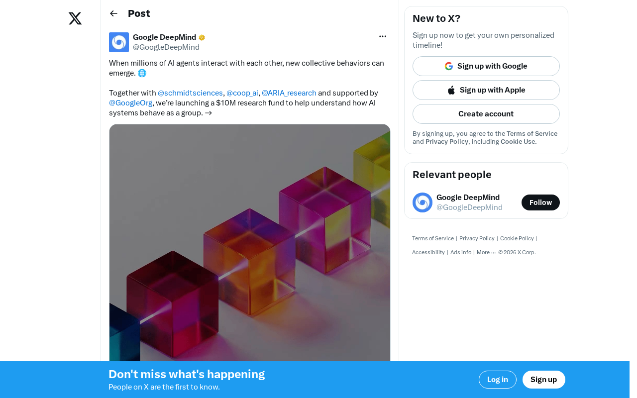
A $10 Million Research Fund Launches: What Happens When Millions of AI Agents Interact with Each Other?
Google.org and Schmidt Sciences launch a $10M fund to study collective behavior and emergent risks of multi-agent AI systems, from flash crashes to mass AI Agent deployment.